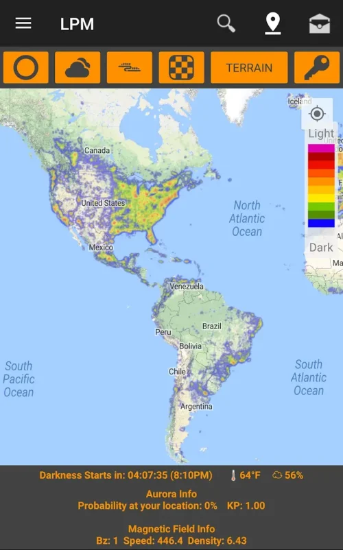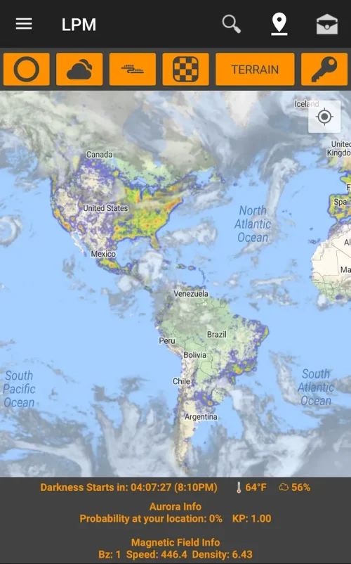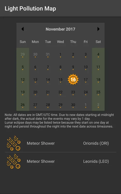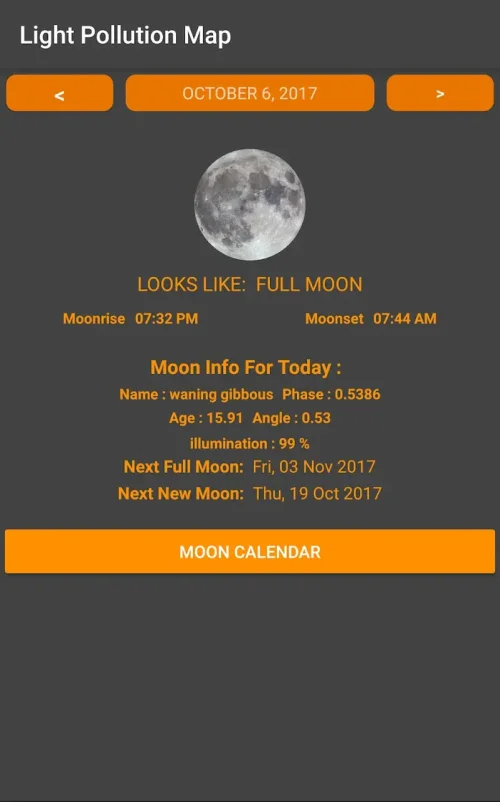
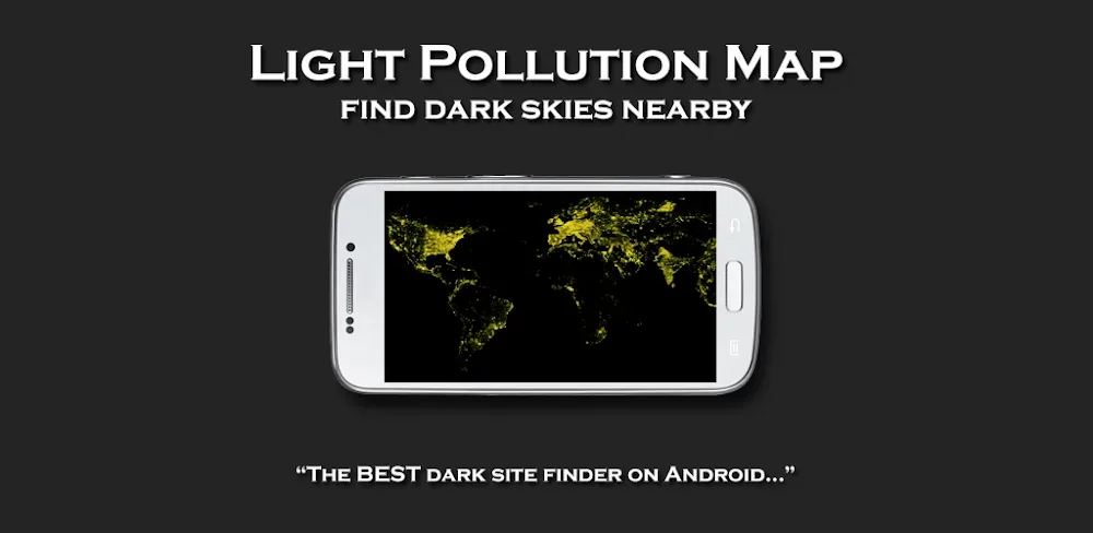

Light Pollution Map - Dark Sky is an educational application designed to help users find the best locations for stargazing and astrophotography by providing information on light pollution levels around the world.
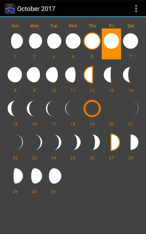
The app offers a range of features including global light pollution overlays, a dark sky finder, and real-time tracking of the International Space Station, making it a valuable tool for astronomers and nature lovers alike.
The app's user interface is intuitive and easy to use, allowing users to access complex atmospheric data and customize their map experience with various layers and controls, including cloud cover and safety radii.
By downloading Light Pollution Map - Dark Sky, users can gain a better understanding of the night sky and find the best locations for observing celestial objects, making it a useful resource for anyone interested in astronomy and the natural world.