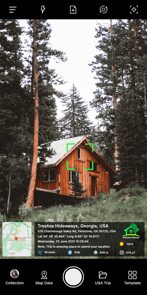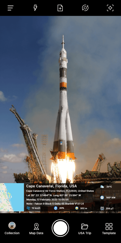
The GPS Map Camera application is a specialized photography tool designed to annotate captured images with geographic and temporal data, making it ideal for individuals who want to maintain a detailed record of their travels or specific stops made during a journey.
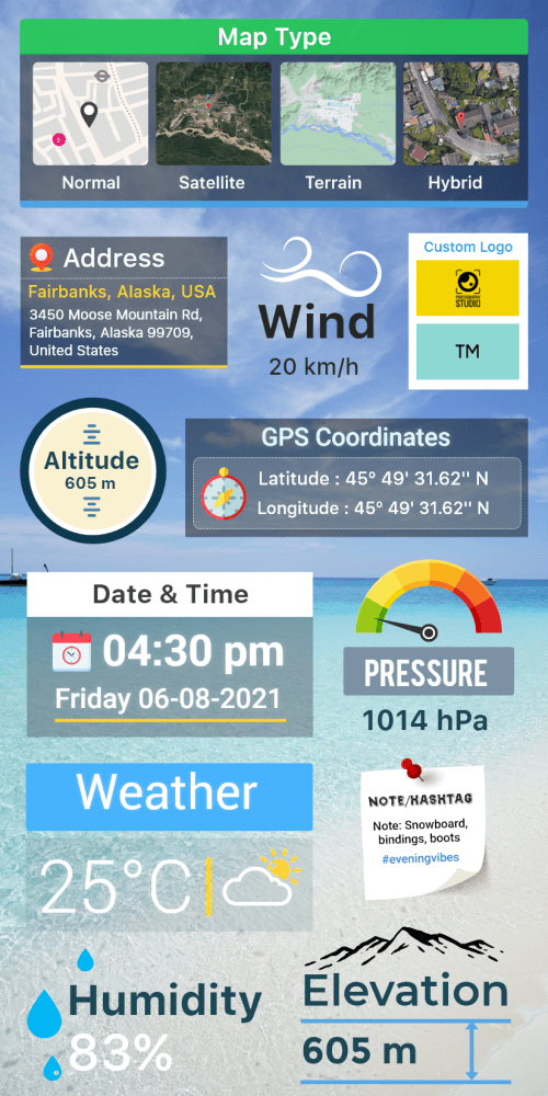
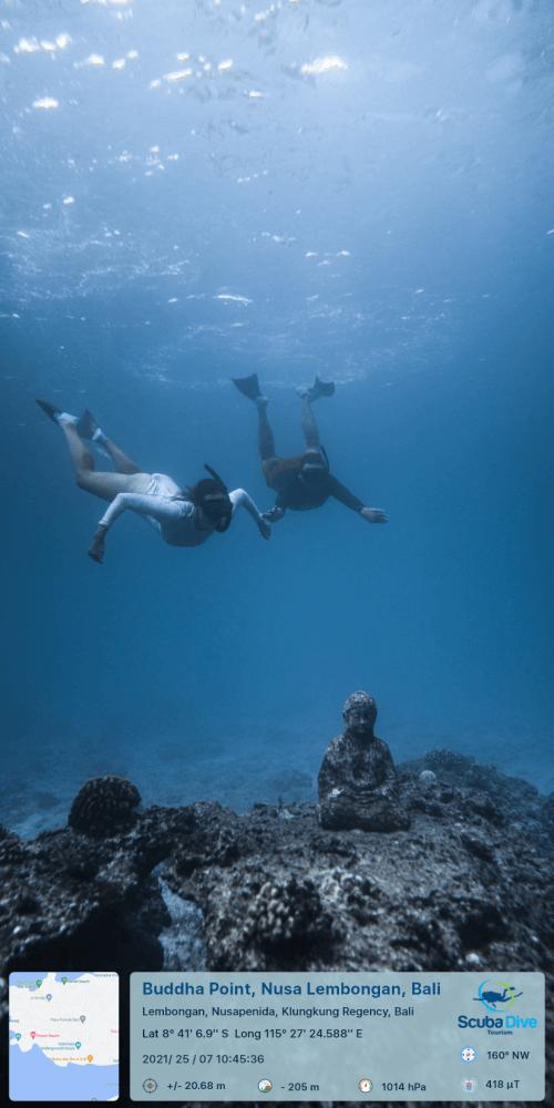
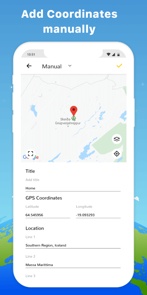
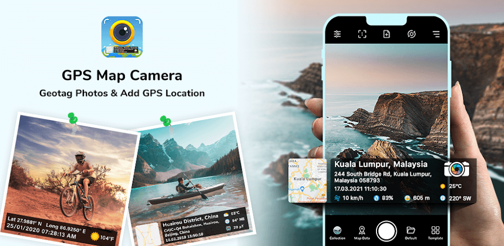
The app integrates specific information directly onto the image file, including the precise date and time of capture, geographical location, and a visual map representation, providing an exact point of reference for where the image was produced.
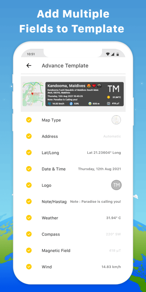
The application offers a range of features, including various layout systems and templates, allowing users to choose how the data points are presented on the final photograph, and supports standard photography tools such as a grid overlay and aspect ratios.
The GPS Map Camera is suitable for outdoor enthusiasts, researchers, and professionals working in remote areas, providing a reliable way to document locations and environments with high-precision context and factual data, and is compatible with both rear-facing and front-facing cameras.