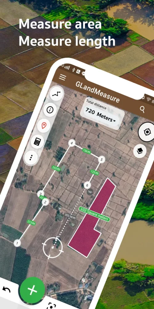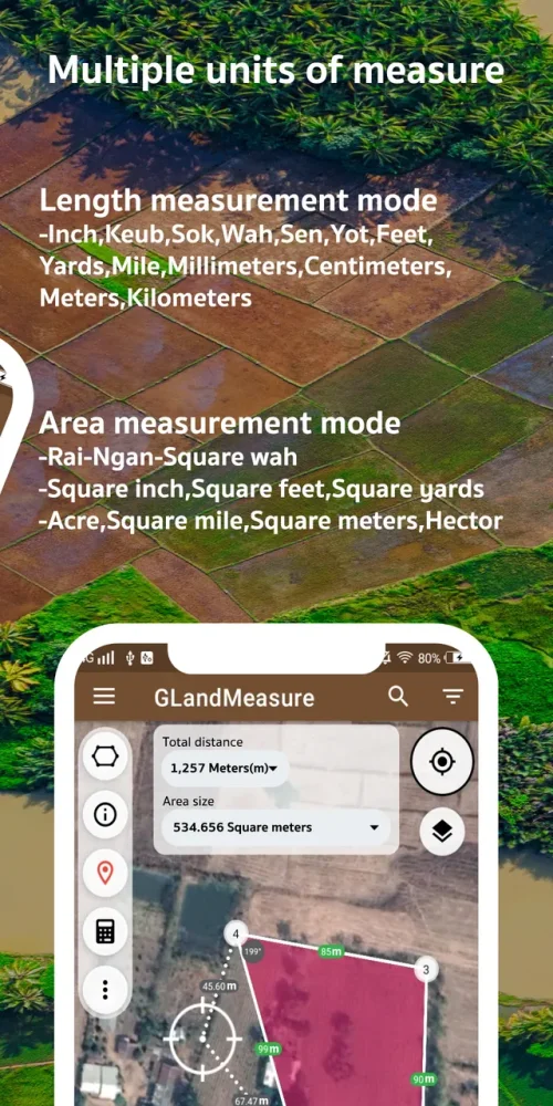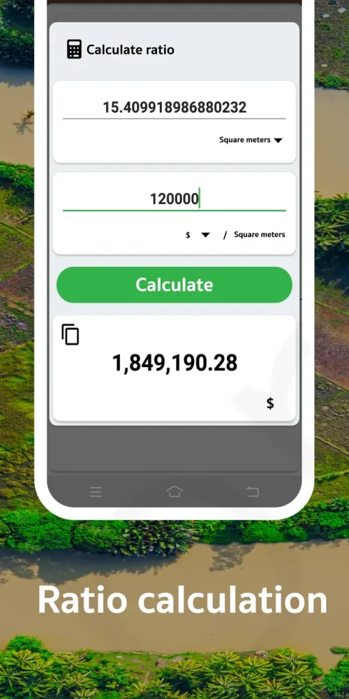
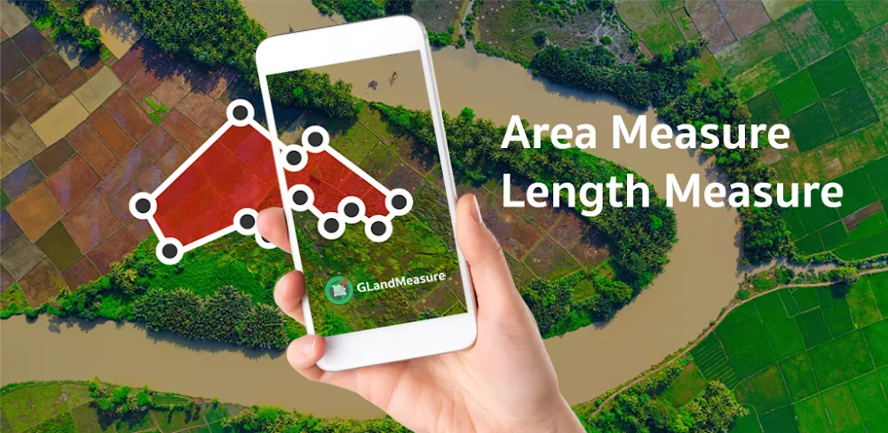
The GLand Measure app is a tool designed to calculate land area and distance with precision, utilizing advanced GPS technology to provide reliable results. It is suitable for various users, including real estate agents, farmers, and outdoor enthusiasts who need to track their daily routes.
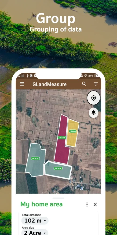
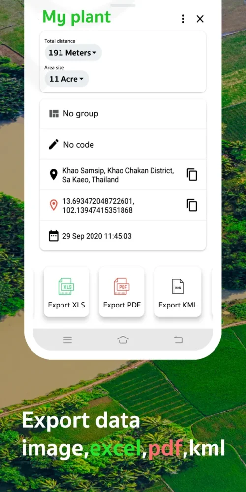
The app offers intuitive operation and powerful functionality, allowing users to define boundaries with accuracy and calculate distances between landmarks or area sizes for future developments. It also features a database to save measurements with timestamps.
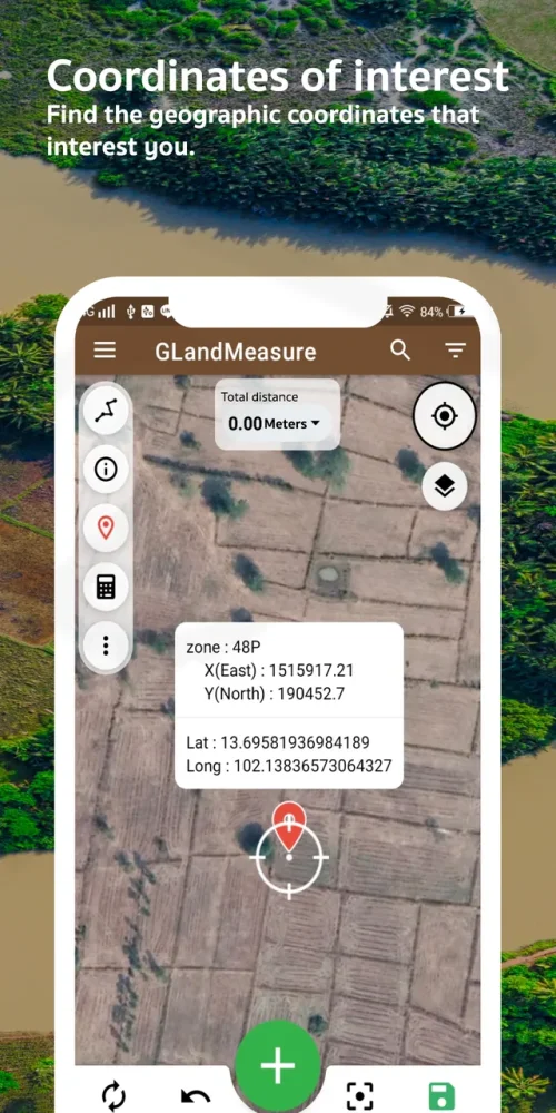
GLand Measure provides two primary methods for calculating areas and distances: the Walk Method, which involves moving along the perimeter of a field to map it out, and the Tap Method, which allows users to drop pins on high-resolution maps. The app also includes a coordinate conversion system.
The GLand Measure app is a comprehensive land management ecosystem that combines GPS technology with professional-grade export features and an easy-to-use interface, making it a reliable mobile surveying companion for various industries, including construction and farming.