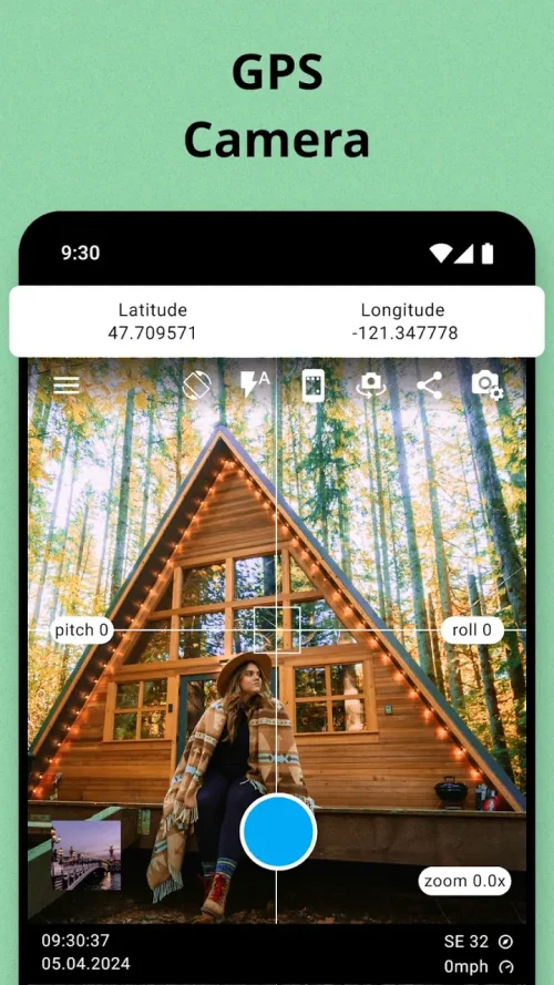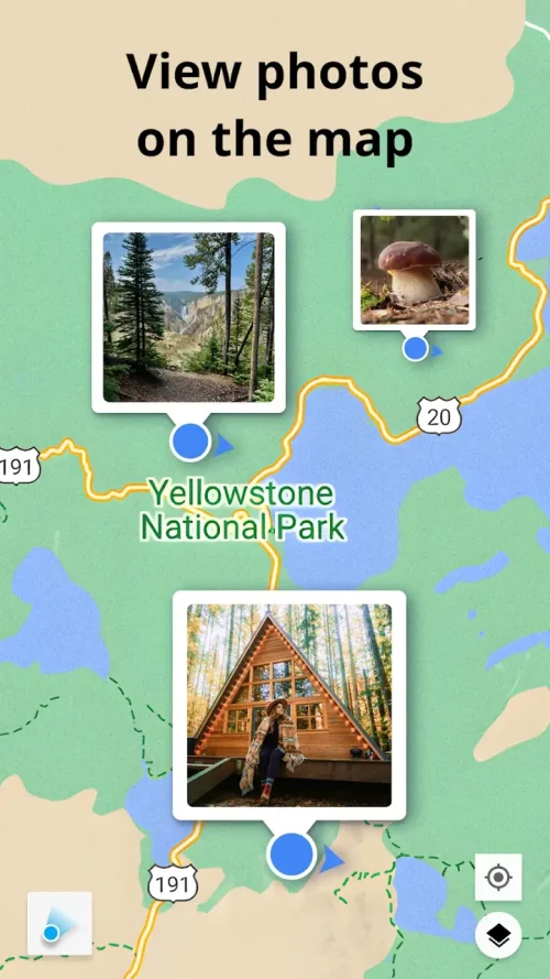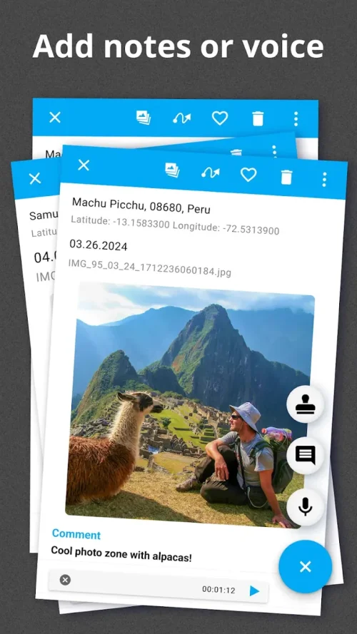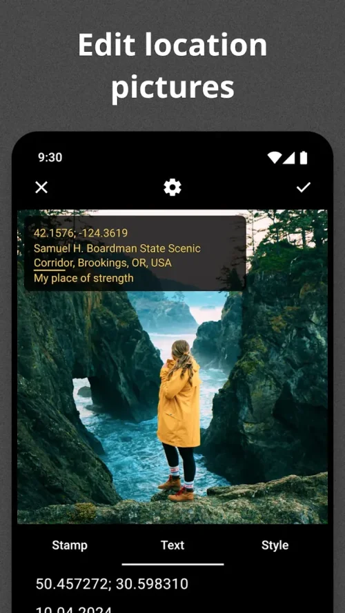

GeoTag is a photography app designed to provide geographic context to images captured on a smartphone. It is suitable for individuals who need to document locations, such as travelers, property photographers, and crop managers.
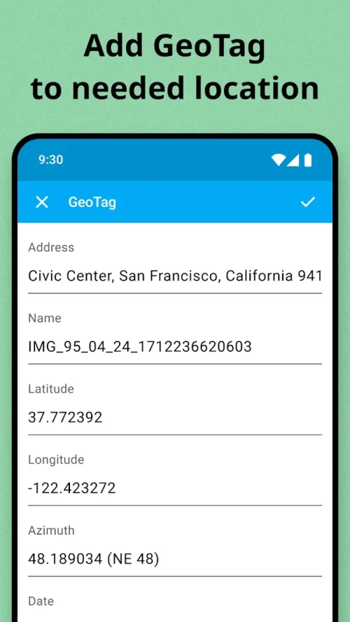
GeoTag automatically embeds location information into images as they are taken, eliminating the need to manually note addresses and locations. The app also offers custom geostamps, allowing users to choose how location, height, date, time, and weather are displayed.
The app features a digital compass and high-resolution image capture, making it a useful tool for navigation and documentation. It is also equipped with productivity tools for professionals, enabling them to efficiently manage and document locations, such as construction sites or properties.
GeoTag has a user-friendly interface that allows for quick and easy tagging of photos with location information. The app is available in version 2.1.4, with a size of 56.6 MB, and offers premium unlocked features, making it a convenient and powerful tool for capturing and sharing geocoded images.