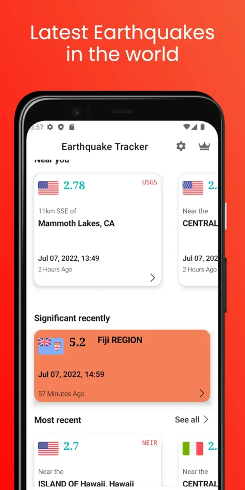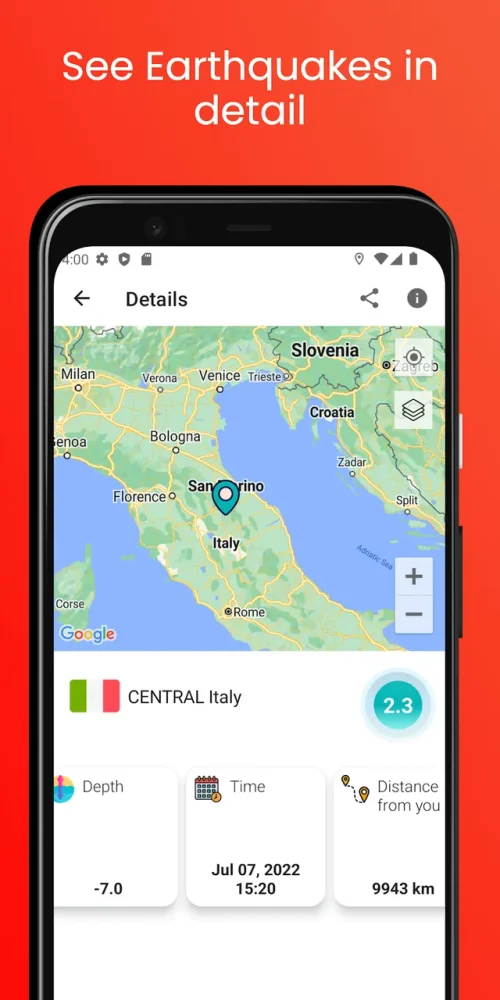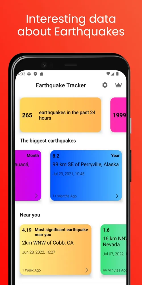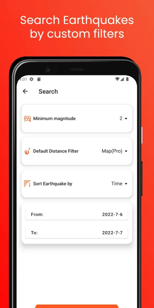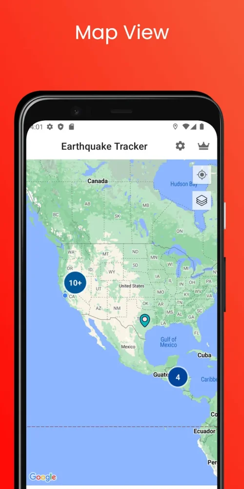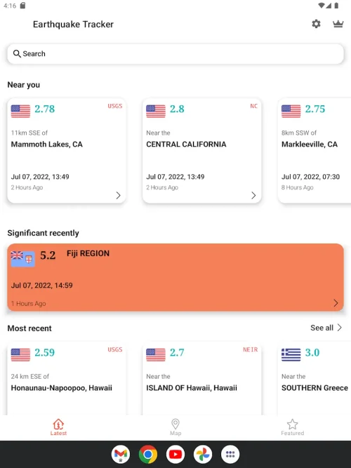

Earthquake Tracker is a Weather application designed to provide real-time seismic activity monitoring, catering to individuals living in active seismic zones, those concerned about relatives in high-risk areas, and professionals interested in geological changes.
The application utilizes multiple international data sources to integrate and consolidate global earth movement reporting, aiming to transform a standard smartphone into a geological monitoring station with a user-friendly interface.
The app leverages a global database network, including the United States Geological Survey and the European-Mediterranean Seismological Centre, to provide accurate and timely reporting of seismic events, which are presented on an interactive dashboard.
With features like Custom Alert Zones, Interactive 3D World Maps, and detailed statistical analysis, Earthquake Tracker offers a comprehensive solution for users to stay informed and prepared for seismic activity, making it a valuable tool for those seeking to understand and respond to earthquakes.